The Role of GIS in Modern Warfare: Strategic Intelligence, Spatial Analytics, and Operational Control
Exploring the strategic role of GIS in modern warfare through terrain analysis, geospatial intelligence, and real-time decision dashboards. A research-based perspective on how spatial analytics shapes operational control and humanitarian response in conflict environments.
3/1/20264 min read

The Geospatial Transformation of Conflict
Modern warfare is no longer defined solely by physical combat. It is increasingly shaped by data, spatial intelligence, and real-time decision systems. Among the most influential technologies in this transformation is Geographic Information Systems (GIS).
Through my study of contemporary conflict environments, defense spatial frameworks, and humanitarian geospatial operations, it is evident that GIS has evolved from a mapping tool into a strategic command platform. Today, it integrates terrain modeling, surveillance intelligence, logistics optimization, and infrastructure vulnerability assessment into one unified analytical ecosystem.
In modern conflict, spatial awareness is strategic power.
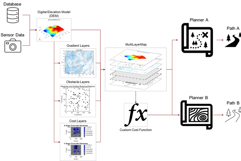
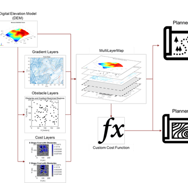
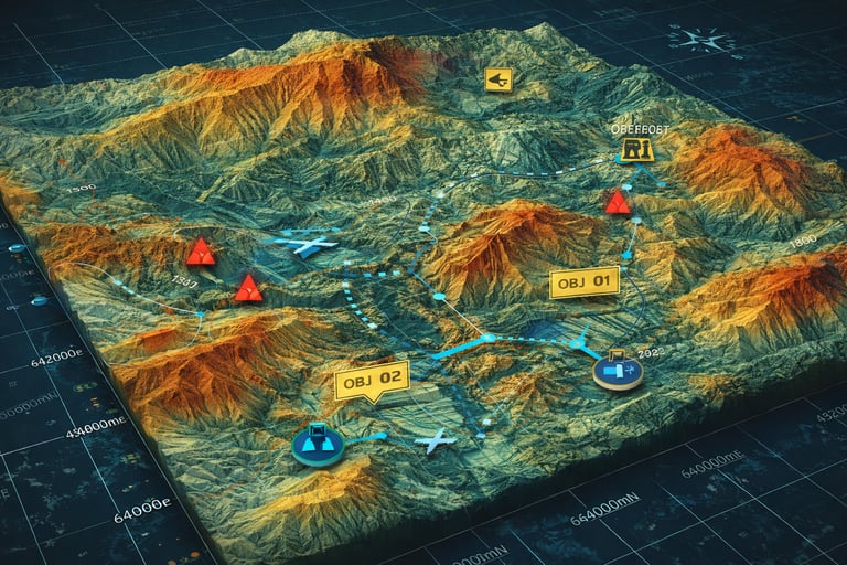
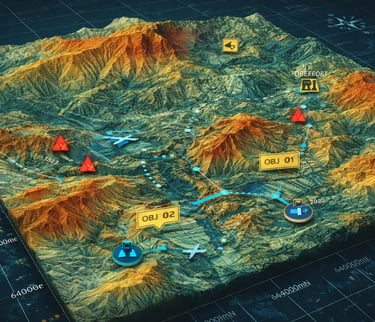
Terrain Analysis and Strategic Military Planning
Terrain has always influenced the outcome of wars. What has changed is the precision with which it can now be analyzed.
Using GIS tools such as:
Digital Elevation Models (DEM)
Slope and aspect analysis
Viewshed and line-of-sight modeling
Urban density and corridor mapping
Military planners can simulate operations before deployment. During the Russia-Ukraine War, terrain corridors, transportation routes, and river crossings were extensively analyzed using geospatial intelligence to guide operational decisions.
GIS allows commanders to anticipate conditions rather than react to them.
Real-Time Surveillance and Geospatial Intelligence
Modern military GIS platforms integrate:
High-resolution satellite imagery
UAV (drone) feeds
Radar datasets
Thermal and infrared imaging
Geolocated open-source intelligence
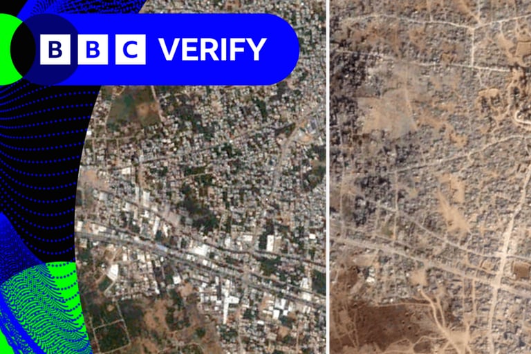
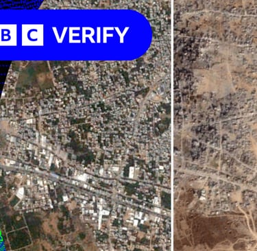
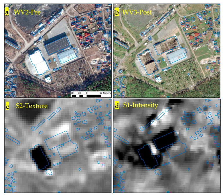
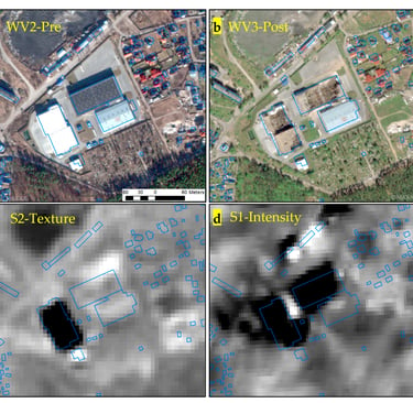
In conflicts such as the Israel-Hamas War, spatial verification techniques were widely used to confirm strike locations and assess damage through satellite comparison and geolocation methods.
The battlefield now includes a digital layer where geographic verification and spatial timestamps are critical to operational credibility.
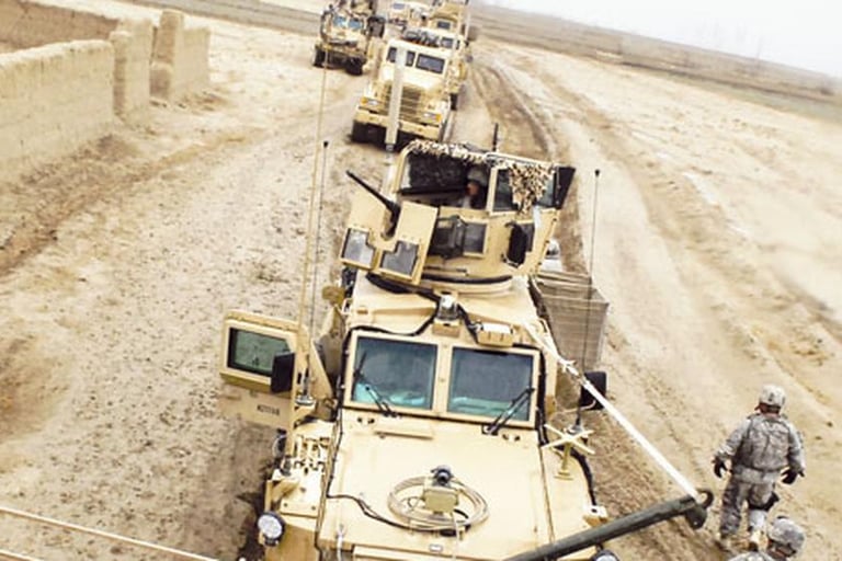
Logistics Optimization and Network Resilience
Sustaining military operations depends heavily on logistics. GIS-based network analysis enables:
Identification of optimal supply routes
Risk-aware routing to avoid exposure zones
Alternative path modeling if infrastructure is damaged
Travel time and fuel efficiency analysis
These analytical methods mirror advanced urban transport modeling but operate under high-risk, dynamic conditions. Spatial algorithms become critical for operational endurance.
Infrastructure Vulnerability and Humanitarian Mapping
Beyond military application, GIS plays a decisive role in civilian protection and post-conflict recovery.
It supports:
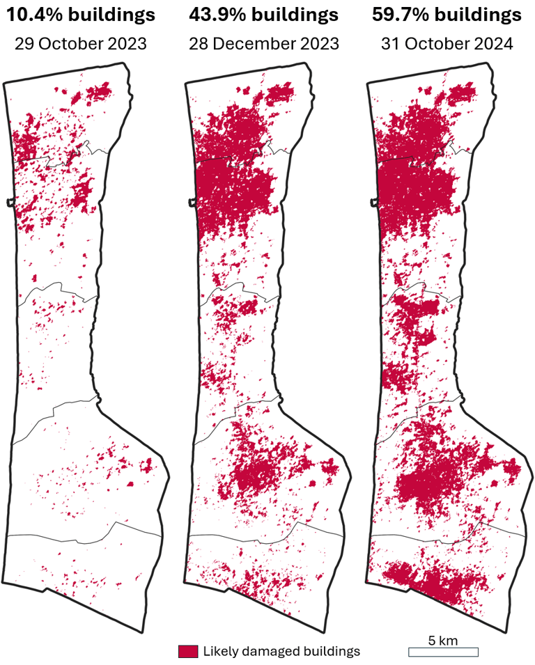
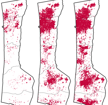
Rapid damage assessment through change detection
Critical infrastructure mapping (power, water, telecom)
Displacement tracking and refugee planning
Emergency response coordination
Organizations such as the United Nations rely on geospatial systems to allocate humanitarian aid efficiently and reduce civilian risk.
GIS in war therefore operates at both strategic and ethical dimensions.
The Strategic and Ethical Future of Geospatial Warfare
GIS is inherently dual-use technology. The same spatial analytics used for disaster management and infrastructure planning can be applied in military targeting. This reality demands responsible geospatial governance, data accuracy, and ethical oversight.
As warfare becomes increasingly data-driven, artificial intelligence and real-time spatial dashboards will further enhance predictive modeling and operational control. Geospatial intelligence will continue to shape defense planning, crisis management, and global security strategy.
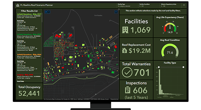
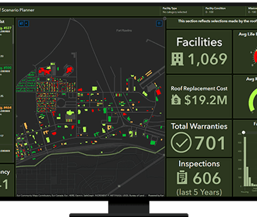
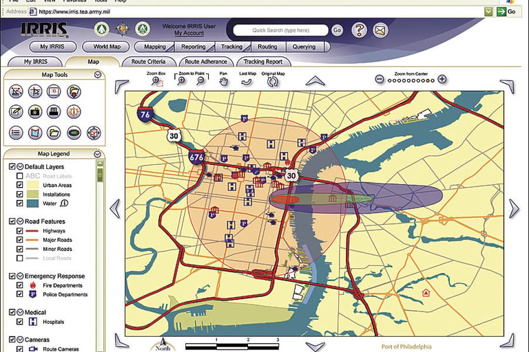
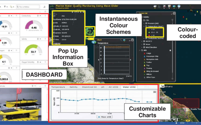
Geospatial Dashboards and Command-Level Decision Support
One of the most transformative developments in modern conflict management is the integration of GIS dashboards within military command environments. These dashboards aggregate multi-source geospatial data—including satellite feeds, drone imagery, troop positioning, infrastructure status, and threat alerts—into a unified real-time interface.
Through interactive visualization, commanders can monitor operational zones, assess risk exposure, track logistics movements, and respond dynamically to changing battlefield conditions. Dashboards enable layered intelligence analysis rather than isolated map interpretation.
In contemporary conflict environments, decision-making speed is often determined by how effectively spatial data is visualized and interpreted. GIS dashboards therefore function as strategic nerve centers within digital warfare ecosystems.
Conclusion: Beyond Mapping — Toward Strategic Impact
Through my work in spatial analysis, infrastructure mapping, network modeling, and vulnerability assessment, I recognize that GIS is far more than cartography—it is a strategic decision system.
Understanding the application of GIS in conflict environments expands the role of a GIS professional into domains of national security, critical infrastructure protection, and humanitarian resilience. The analytical foundations we use in urban planning, flood modeling, and network analysis directly translate into high-impact defense and crisis management applications.
As a GIS specialist committed to advanced spatial analytics and emerging technologies, I see the future of geospatial science not just in mapping the world—but in shaping how decisions are made within it.