Beyond Reports: Intelligent Environmental Analysis
From mapping risk to predicting impact, GIS and AI are redefining the future of environmental consulting.
3/1/20261 min read
Environmental consulting has changed significantly over the past decade. What was once heavily dependent on field surveys, static reports, and manual interpretation is now deeply influenced by technology. As a GIS professional, I have seen how Geographic Information Systems (GIS) and Artificial Intelligence (AI) are reshaping the way we understand and respond to environmental challenges.
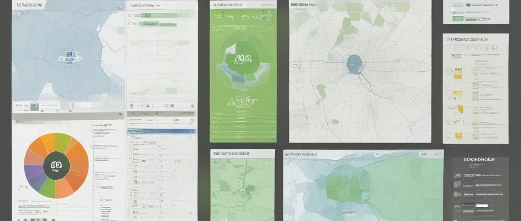
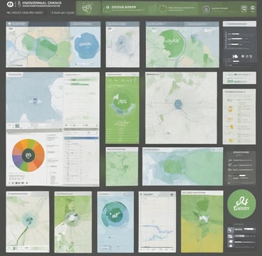
At its core, environmental consulting is about making informed decisions that balance development and sustainability. GIS plays a critical role in this process by providing a spatial perspective. Environmental issues are rarely isolated; they are connected to location, terrain, climate, infrastructure, and human activity. With GIS, we can visualize these relationships clearly. Mapping flood-prone areas, assessing land use changes, analyzing watershed patterns, or identifying environmentally sensitive zones becomes not just possible, but precise and data-driven.
AI adds another layer of intelligence to this workflow. Large environmental datasets—from satellite imagery to climate records—are often too complex to analyze manually. Machine learning models can classify land cover, detect changes over time, predict risk zones, and identify patterns that might otherwise go unnoticed. This shifts environmental consulting from reactive problem-solving to proactive planning. Instead of only assessing impact after it occurs, we can anticipate and mitigate risks before they escalate.
One of the most exciting developments is the movement toward digital twins—dynamic digital representations of real-world environments. By integrating GIS, AI, and real-time data, environmental consultants can simulate scenarios, test interventions, and evaluate long-term sustainability strategies. This approach supports smarter urban planning, improved water resource management, and more resilient infrastructure development.
For me, the integration of GIS and AI in environmental consulting represents more than just technological advancement. It reflects a shift toward responsible decision-making backed by spatial intelligence. Environmental challenges are becoming more complex, but with the right tools and analytical frameworks, we can transform raw geographic data into meaningful insight. In doing so, we move closer to development that is not only efficient, but also sustainable and forward-looking.